Coastlines Unveiled: AI Training with Beaches and Scenic Wonders
| Total images | : 100,815 |
| Type | : organic |
| Category | : Scenes |
| Resolution | : Up to 1024px |
| Storage size | : Up to 17 Gb |
| File format | : JPEG |
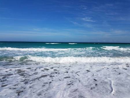
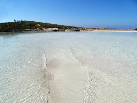
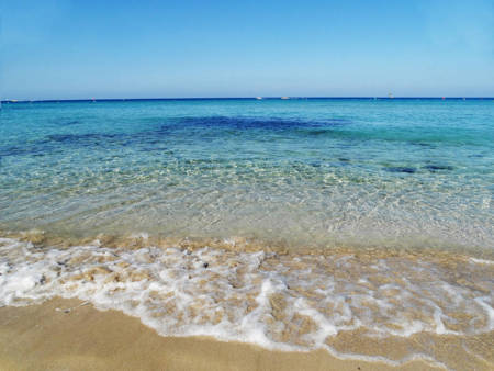
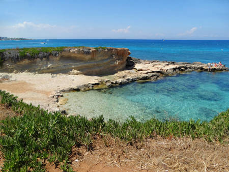
The Beaches and Coastlines Around the World dataset offers a comprehensive collection showcasing stunning locations from across the globe. With a wide range of high-quality images capturing the beauty and diversity of beaches and coastlines, this dataset holds immense value for various applications and industries.
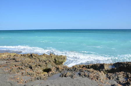
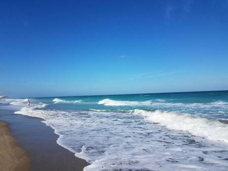
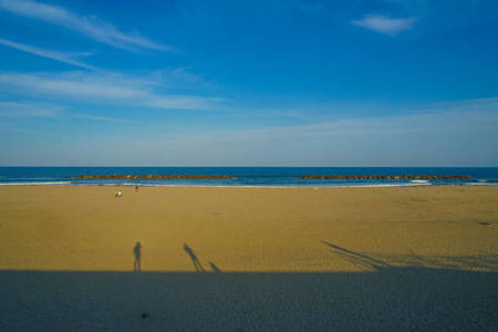
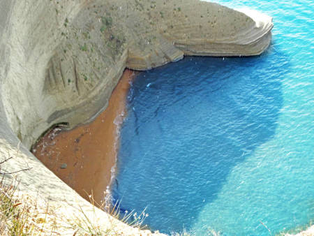
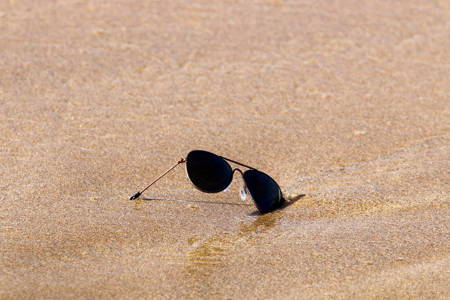
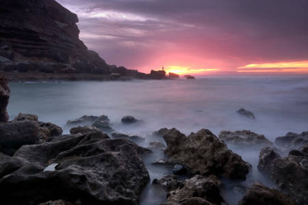
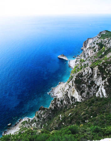
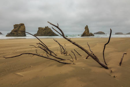
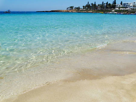
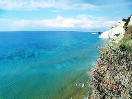
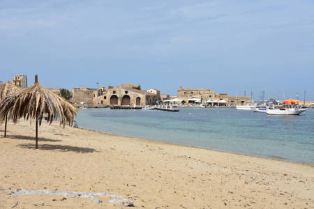
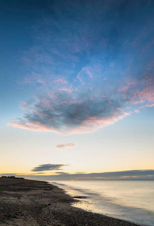
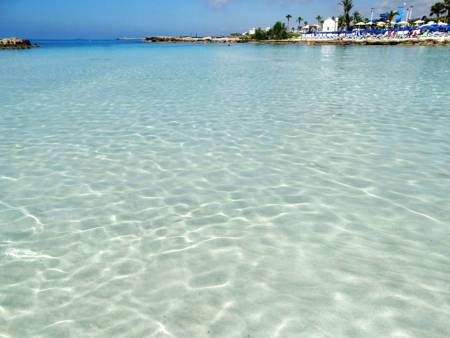
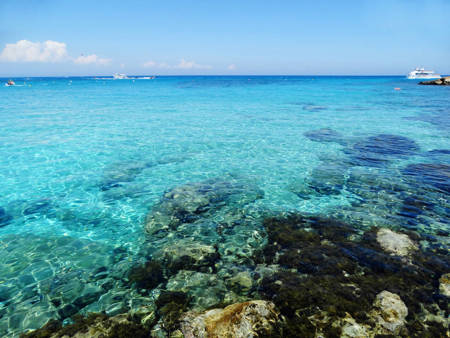
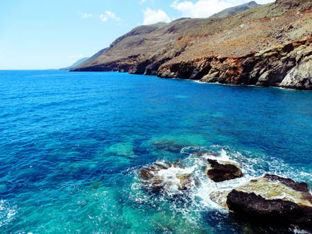
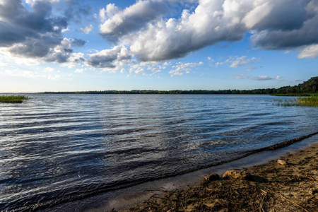
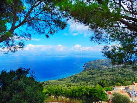
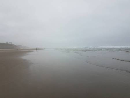
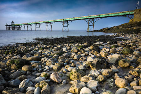
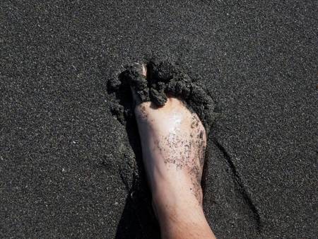
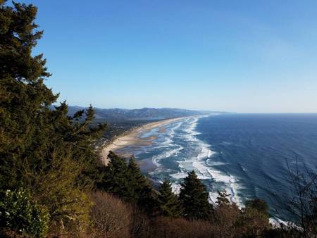
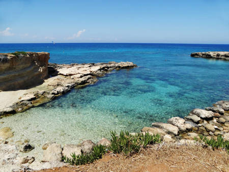
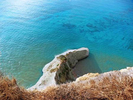
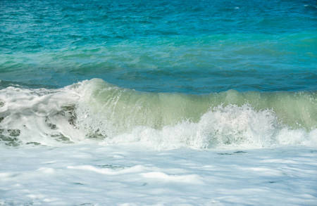
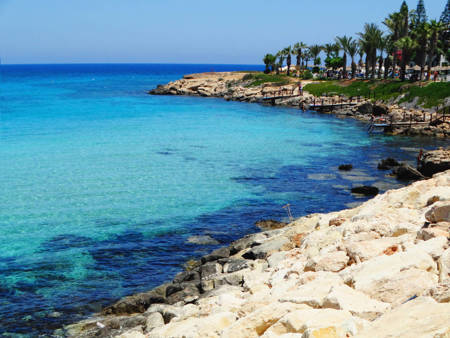
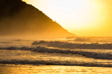
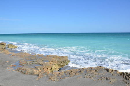
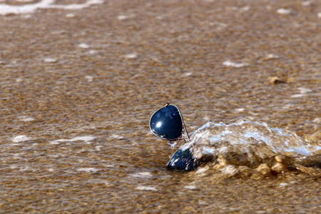
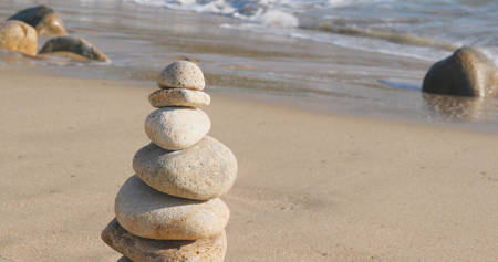
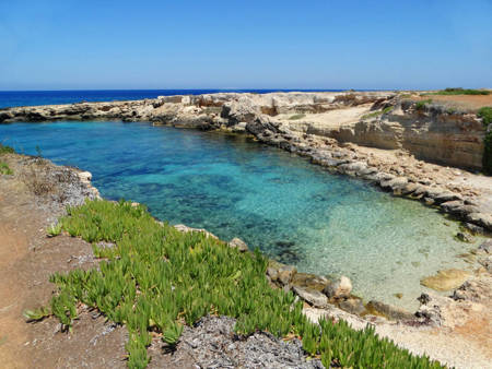
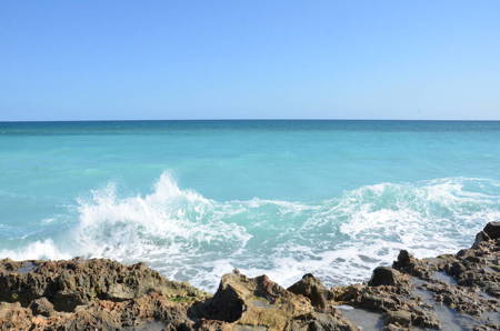
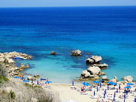
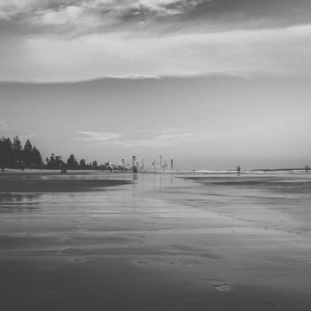
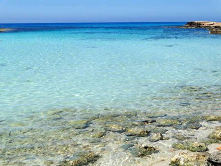
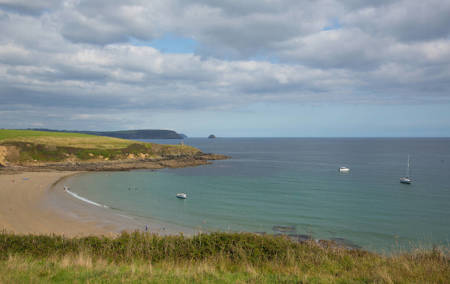
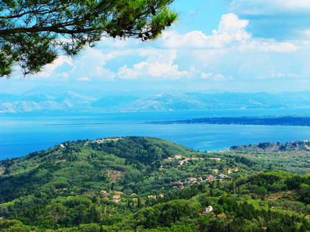
From pristine sandy shores to rugged cliff formations, this dataset encompasses breathtaking landscapes and seascapes. Each image provides a glimpse into the unique characteristics and scenic wonders of different coastal regions, allowing researchers, travel enthusiasts, and environmentalists to explore and appreciate the world's coastal beauty.
The dataset's commercial stock environment ensures its suitability for diverse applications, including travel and tourism marketing, environmental research, and educational projects and of course AI machine learning. Researchers and professionals can leverage this dataset to study coastal erosion, monitor environmental changes, or create visually captivating content for publications, websites, and presentations.
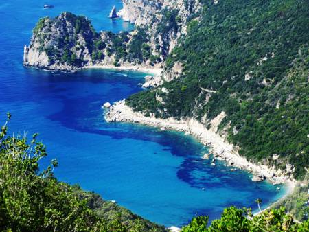
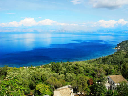
The angles of the images within the dataset vary, offering a diverse perspective of beaches and coastlines. From aerial views to close-ups, this collection provides a well-rounded representation of these natural wonders.
The manual creation of descriptive tags represents a significant human effort in preparing the dataset. These tags offer a rich source of information that can be utilized for AI training machine learning models. The manual creation implies that the tags are likely to be more accurate and nuanced compared to tags generated by automated methods.
Environment: Commercial stock
Angle: Random
Augmentation: None
AR: Various
ACCURACY
This dataset contains a tolerance margin of 10% to 15% of associated images which might not reflect 100% accuracy in the metadata or image. As example for the error margin: a seal might appear due to its association with sea shores. The maximum resolution of each image might vary. All metadata in this dataset had been created manually and might contain a low margin of error.
128px
$299
256px
$999
512px
$1,999
1024px
$2,999
Sample images in this dataset
