Explore the Road Condition Dataset: Covering All Terrains
| Total images | : 1,542 |
| Type | : organic |
| Category | : Scenes |
| Resolution | : Up to 1024px |
| Storage size | : Up to 394 Mb |
| File format | : JPEG |
The Diverse Road Condition Collection is an intricately collected dataset that captures the myriad states of roads and highways across the globe, from bustling urban thoroughfares to remote countryside paths. This collection serves as an invaluable resource for urban planners, transportation engineers, infrastructure researchers, and road safety advocates who seek insights into the diverse conditions and challenges that different road environments present.
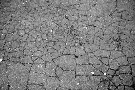
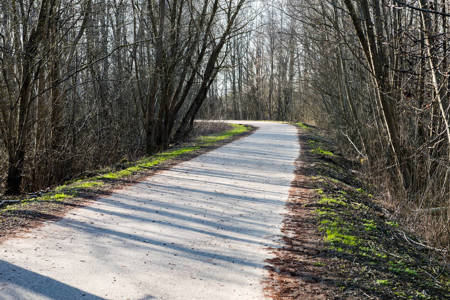
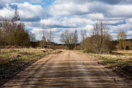
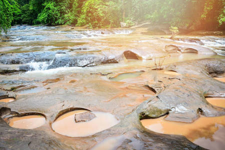
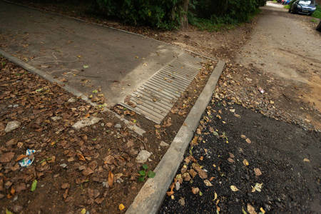
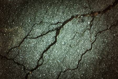
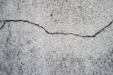
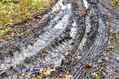
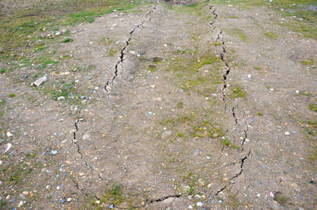
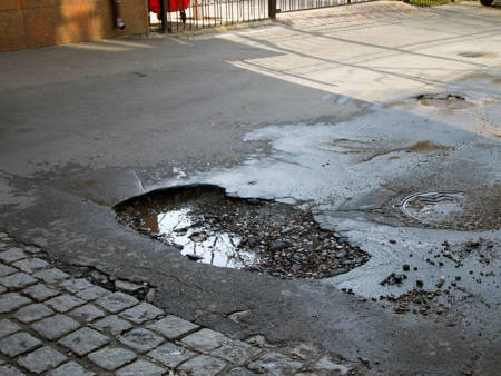
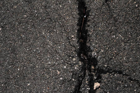
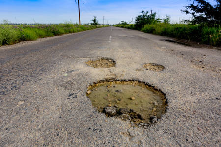
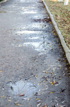
This dataset offers an unparalleled glimpse into various road terrains, conditions, and maintenance levels, such as potholed city streets, rain-eroded rural tracks, newly paved highways, and snow-covered mountain routes. Such comprehensive coverage is pivotal for understanding the dynamics of road wear and tear, and for strategizing road improvement initiatives and safety measures.
Incorporating AI and machine learning with this dataset facilitates:
1. Predictive Maintenance: Train models to predict when specific road sections are likely to deteriorate, optimizing maintenance scheduling and resource allocation.
2. Safety Enhancement Algorithms: Develop AI models that can analyze road conditions and provide real-time updates to vehicle navigation systems, alerting drivers to potential hazards or suggesting alternate routes.
3. Traffic Flow Optimization: AI algorithms can forecast how road conditions might influence traffic congestion and flow, recommending infrastructure changes or traffic management techniques.
4. Environmental Impact Modeling: Utilize machine learning to discern how climatic conditions impact road degradation, aiding in the design of more resilient road materials and construction methods.
5. Autonomous Vehicle Training: Equip self-driving cars with the ability to recognize and adapt to different road conditions by training them on this dataset, enhancing their navigation and safety capabilities.
6. Road Quality Assessment: Using image recognition models, automatically evaluate road quality from photographs or video feeds, streamlining survey processes and minimizing human intervention.
Environment: Commercial stock
Angle: Random
Augmentation: None
AR: Various
ACCURACY
This dataset contains a tolerance margin of up to 5% of associated images which might not reflect 100% accuracy in the metadata or image. For instance, an image capturing partial road sections or subjective interpretations of road conditions might be included due to its relevance to the thematic of the collection. All metadata in this dataset has been created manually and might contain a low margin of error. The maximum resolution of each image might vary.
128px
$59
256px
$109
512px
$179
1024px
$279
Sample images in this dataset
